



Historical information
T.B.A. See also Cat 11096.
Physical description
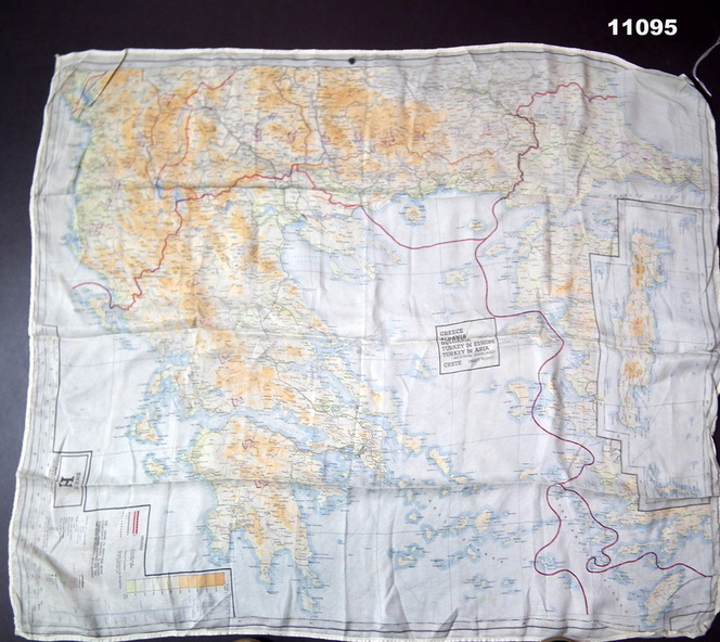
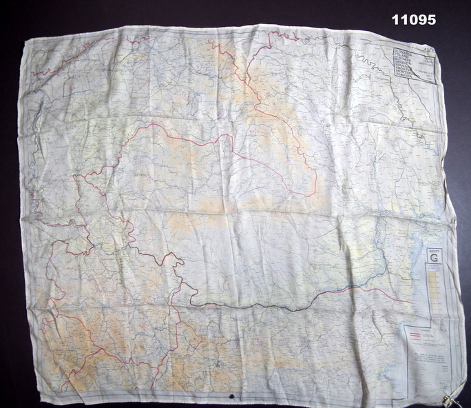
Two coloured maps, printed on silk. Shows roads, railways, waterways and mountains. National boundaries as at 1943 are shown.
First map: scale 1:1,000,000, sheet H. Shows Greece, Albania, Bulgaria South, Turkey in Europe, Turkey in Asia * (Western Seaboard). Crete (inset right).
Rear map: scale 1:1,000,000 Sheet G. Shows Slovakia (Sth), Poland (Sth), Hungary (Sth East), Romania, Serbia, Bulgaria (Central and East), Croatia, Montenhead (East) Albania (Nth).
