



Historical information
Refer also Cat No 11095.
Physical description
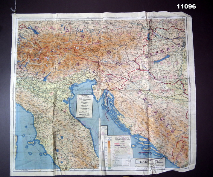
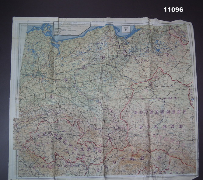
Two coloured maps printed on silk. They show roads, railways, waterways and mountains. National boundaries as at 1943 are shown.
Front map: Scale 1:1,000,000, Sheet 'E' shows Germany (nth), Protectorate (Bohemia & Moravia) Slovakia, Poland, Hundary Nth.
Rear map: Scale 1.1,000,000. Sheet 'F' shows; Croatia (W & Central), Montenegro (West), Hungary (West), Slovania (Sth), Germany (Sth), Italy North & Central, Switzerland (East).
