Historical information
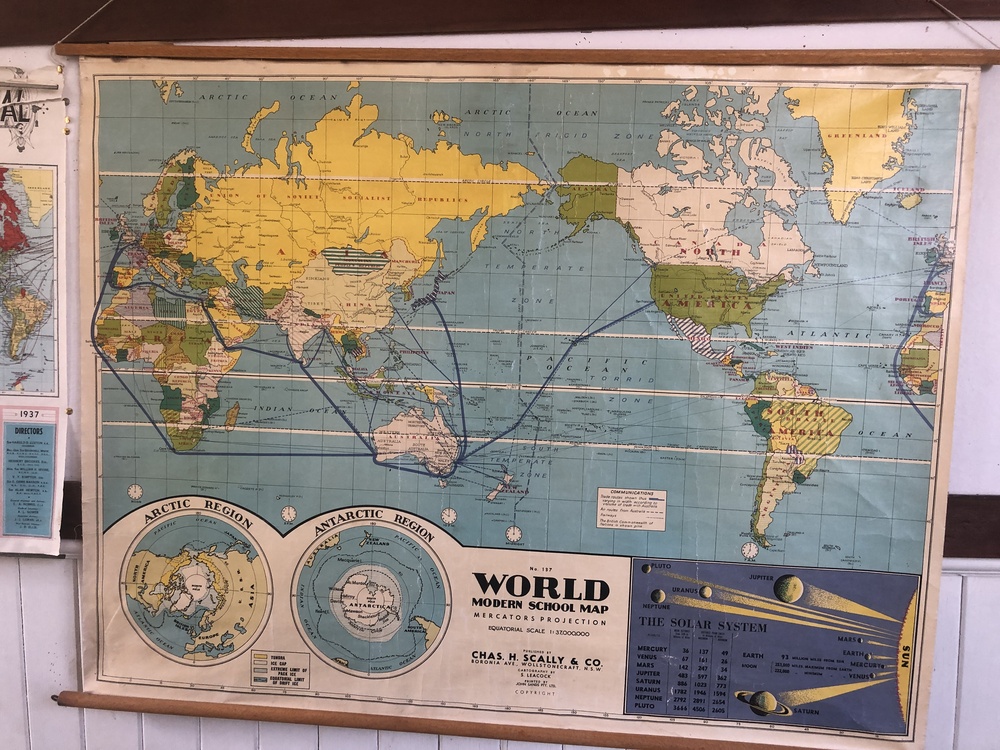
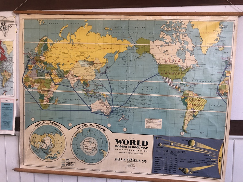
Original world map from the 1930s, used in Australian schools
Significance
Significant for depicting countries and borders in the 1930s along with shipping and trade as well as international air routes and member nations of the British Commonwealth
Physical description
World Modern School Map - No. 137
Coloured map on wooden dowel rails top and bottom
Insert maps showing Artic and Antarctic regions and Solar System including Pluto (discovered 1930)
Reference Box: Communications - showing trade routes, air routes and railways
Mercator's projection
Equatorial scale 1:37,000,000
Eight Edition
Copyright