Historical information
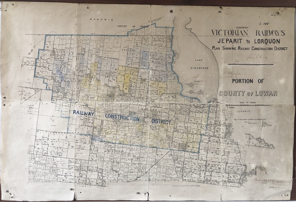
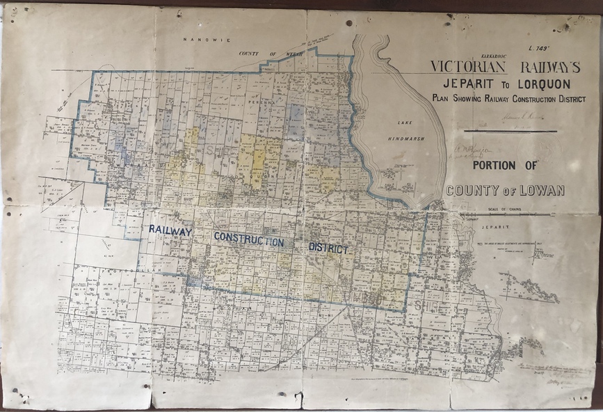
A plan showing the area of the Jeparit-Lorquon railway construction district in the early 1900s along with the owners of farmlands in and beyond this district.
Significance
Highy significant in its recording of ownership of farmlands in the late 1800s and early 1900s.
Physical description
Paper plan of part of County of Lowan produced by Victorian Railways showing the area of the railway line construction and surrounding farming lands south and west of Jeparit around 1910
Inscriptions & markings
Coloured identification of the railway construction district