Historical information
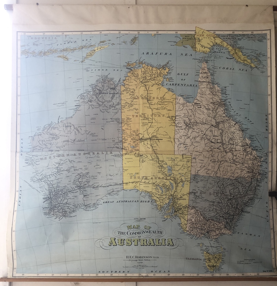
A map typically displayed in Australian schools mid-twentieth century. Likely displayed in one of the local district's state schools, 1940s-1950s.
Physical description
Colour lithograph map of the Commonwealth of Australia produced by H.E.C. Robinson Pty Ltd, Sydney, proably 1940s. Sixth edition. Map No. 508C. Timber rods top and bottom.