Historical information
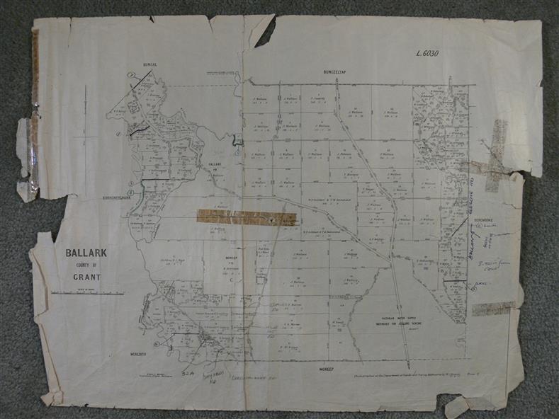
A map of the Ballark area within the County of Grant showing roads, waterways, property boundaries and property owners in 1915.
Significance
Significant to people researching land usage and ownership. Also those researching families in the area at that time.
Physical description
A map of Ballark in the County of Grant. Black printing on buff coloured paper. Extra notations by hand and various coloured highlighting of certain features. Details roads, rivers, property boundaries and names of property owners and districts.
The map is easily readable although there is some physical damage to the borders and some sellotape residue.
Shows a scale in Chains and the number L.6030
Inscriptions & markings
Various numbers and directional arrows added to map.