

Historical information
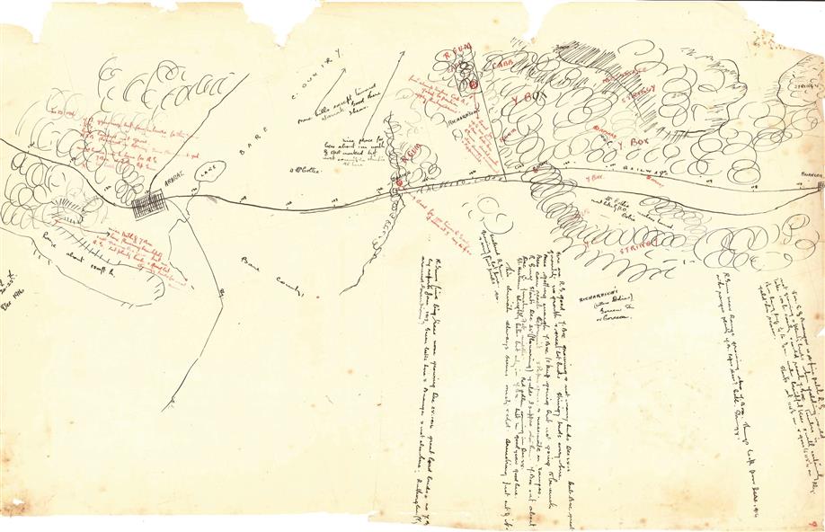
This is one of the maps drawn by Frank L. Frost while he was beekeeping in North-East Victoria. This particular map may be reference in the "Wooden" Diary on page 11.
Physical description
Front Side:
Hand-drawn map centred on Ararat, central Victoria. Details road and railway and vegetation with comments on flowering.
Back Side:
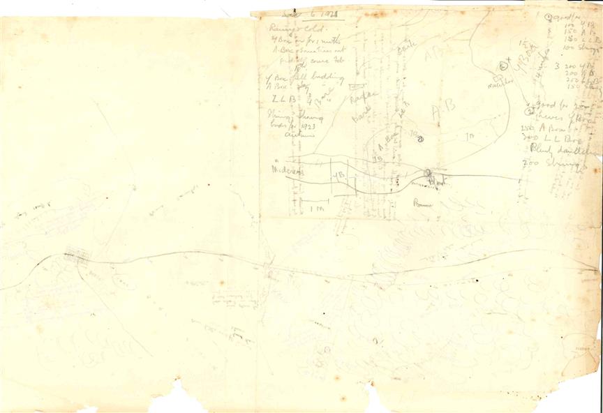
Comments in grey lead [ca 1923]