

Historical information
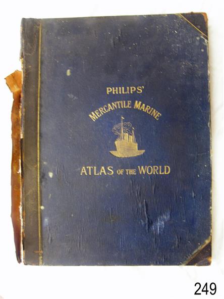
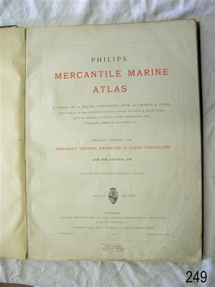
Philips' Mercantile Marine Atlas of the World contains a series of 30 plates containing over 100 charts and plans, with tables of over 8,600 distances between ports, national and house flags, lists of British & United States Consulates and a complete index of 20,000 ports. Specially designed for merchant shippers, exporters and ocean travellers, and for general use.
Significance
The atlas is significant as a record of the status of world statistics in 1904, of interest to travelers, merchants, and world traders.
Physical description
"Philips' Mercantile Marine Atlas of the World".
Dark blue hardcover, gold embossing and trim.
Edited by George Philip, F.R.G.S. Second edition.
Published in London by George Philip & Son, London,
Date: 1904
Inscription on a purple stamp on the fly page.
Inscriptions & markings
"Please - - - / HARDY GILLARD / - - / - - LONDON"