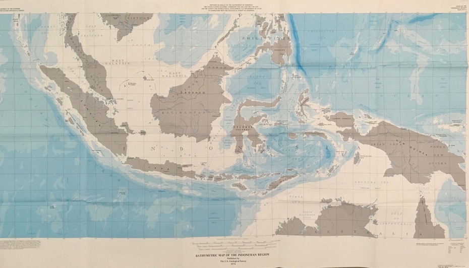


Historical information
Map was prepared on behalf of the Government of Indonesia, The United Nations Economic Commission for Asia and the Far East, the Agency for International Development and the U.S. Department of State in cooperation with the Geological Survey of Indonesia. The area covered shows the islands and seas from Latitude 12 degree North to 16 degrees South and Longitude 90 degrees to 148 degrees.
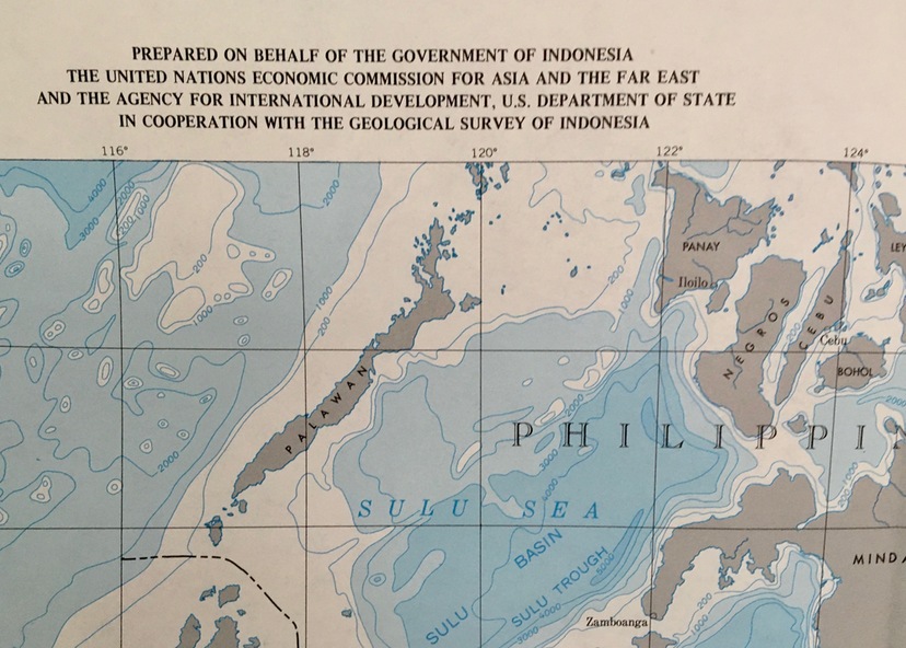
Various water features are also named.
Physical description
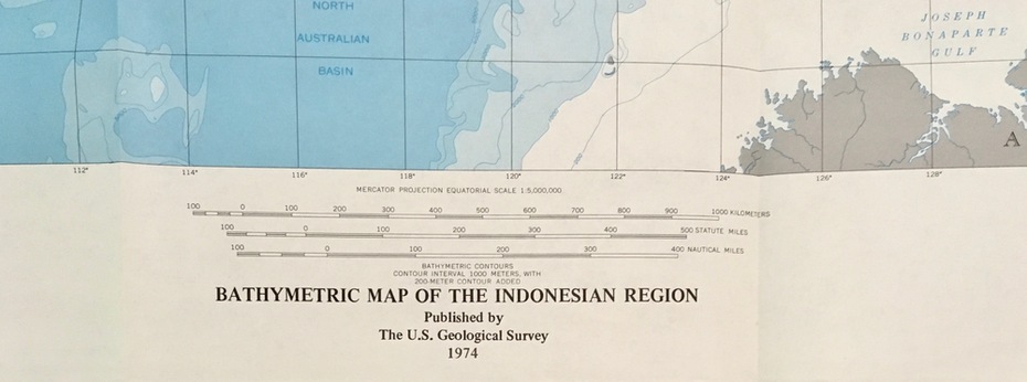
Large map showing the Indonesian area - islands and seas
Inscriptions & markings
Longitude and Latitude are shown. Major / Capitol cities indicated. Names of those responsible for the production