


Historical information
There had been timber assessments in Victorian State forests since the late 1920s, coinciding with arrival of the three Norwegian foresters.
The program was accelerated during the post-war housing boom. It was driven by the push eastwards away from the Central Highlands to find timber resources after the 1939 bushfire salvage was completed.
Spending time in the field with assessment branch was a “rite of passage” for many young forestry graduates leaving Creswick.
The work was arduous, and measurements were taken with simple and robust equipment like Gunters chains, prismatic compass, Abney levels, barometers and clinometers. Data was recorded by hand onto waterproof paper.
The Statewide Forest Resource Inventory (SFRI) project began in 1993 and followed a few years after the release Timber industry Strategy. The aim was to bolster the existing 1:25000 scale mapping and improve the accuracy of the volume and growth estimates for the forest estate.
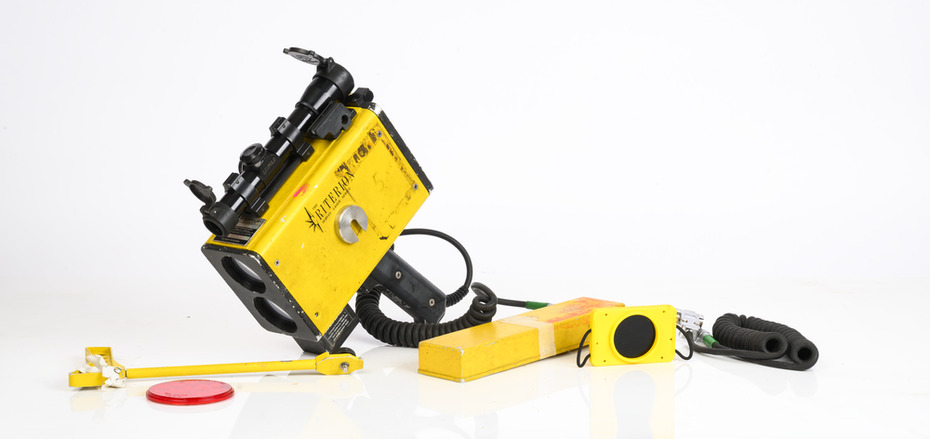
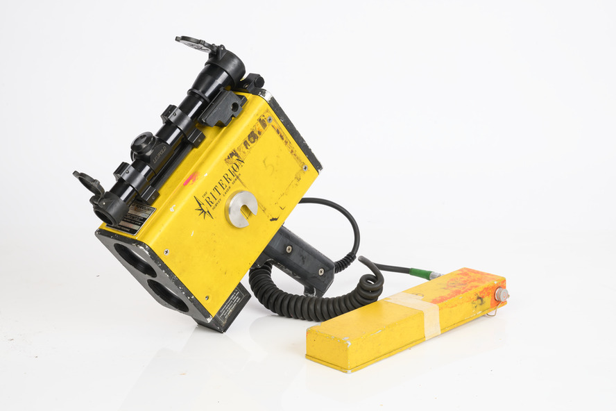
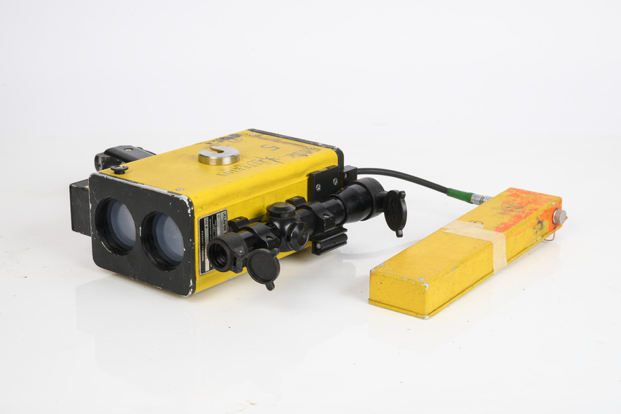
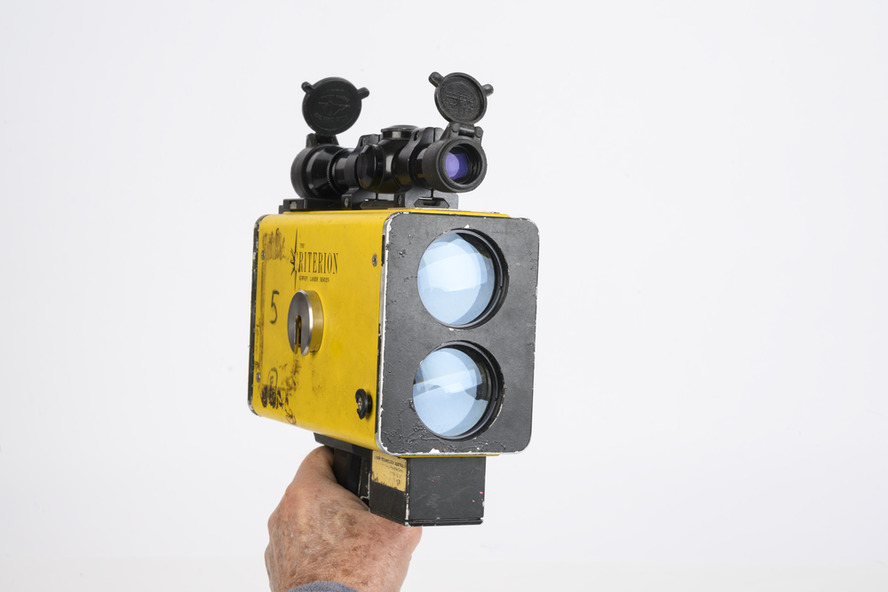
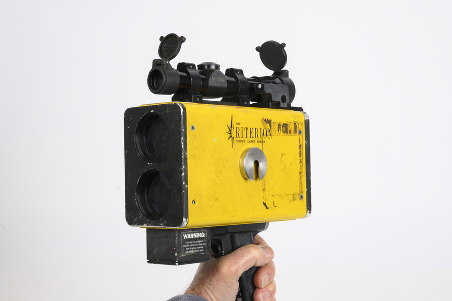
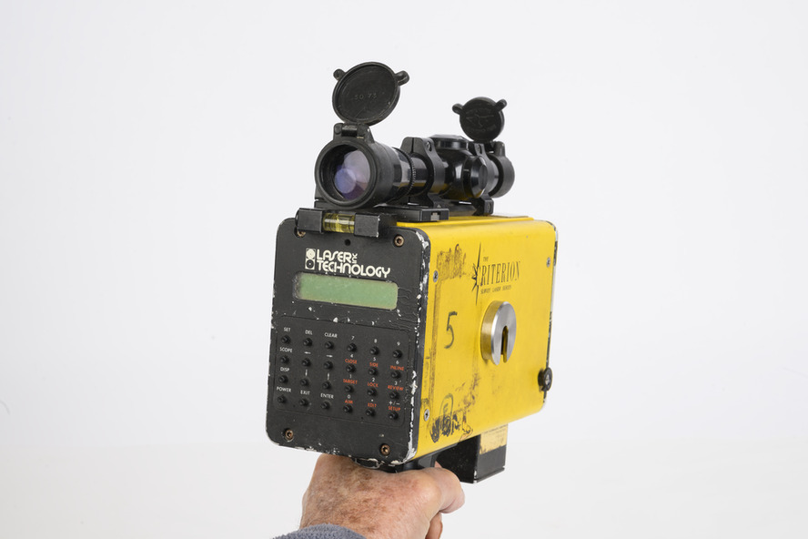
This scary looking gadget looks like a speed radar used by the cops.
The LTI Criterion Survey Laser and Rangefinder was a powerful instrument that could measure and record tree height, diameter at any visible point up the tree and branch take-off points. It was used to identify and map tree faults such as branches, scars and knots and to calculate tree taper functions.
When used correctly, it has an accuracy of better than 1% for height and diameter.
It could also measure survey information such as asmuth, distance and elevation.
It was expensive back in the day (more than $20,000) - this one was manufactured in 1996 - and heavy.
This item was donated to the Beechworth museum by Peter Black in 2015 and is now at Altona and recorded in Victorian Collections
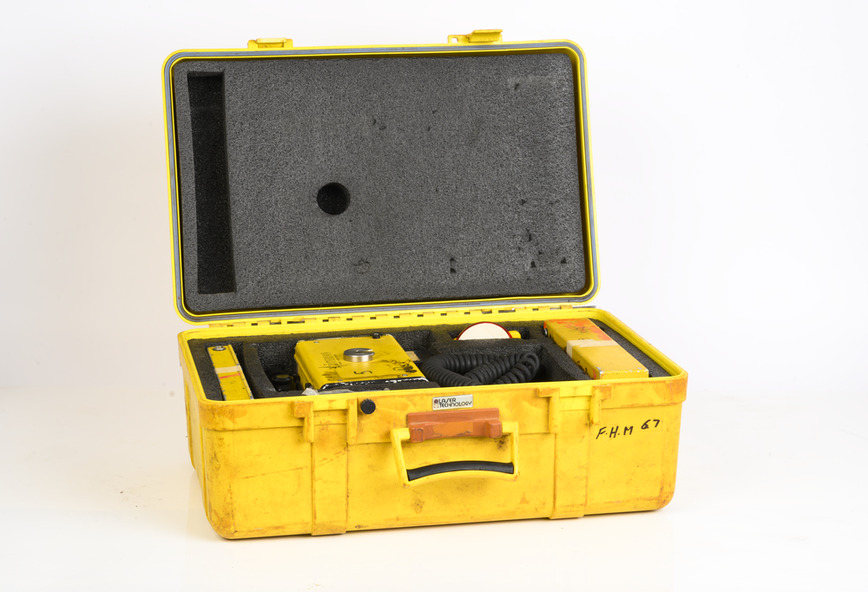
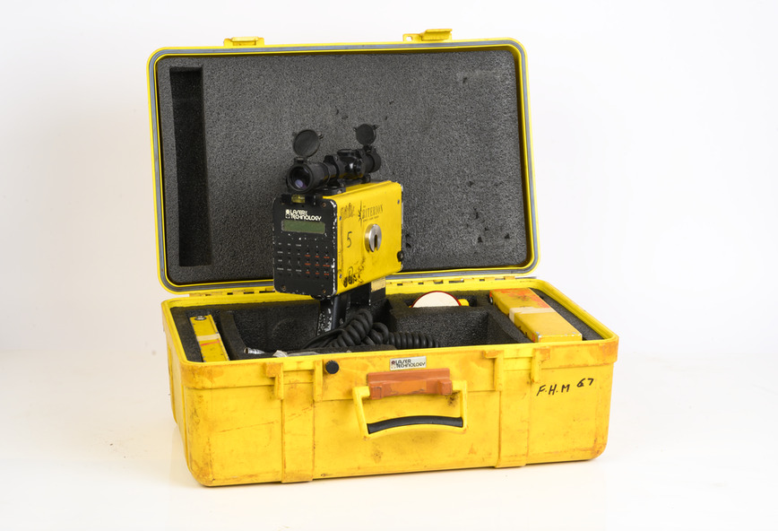
Physical description
Criterion Survey Laser with box and battery
Inscriptions & markings
Laser Technology Inc, Englewood, Colorado, USA