Historical information
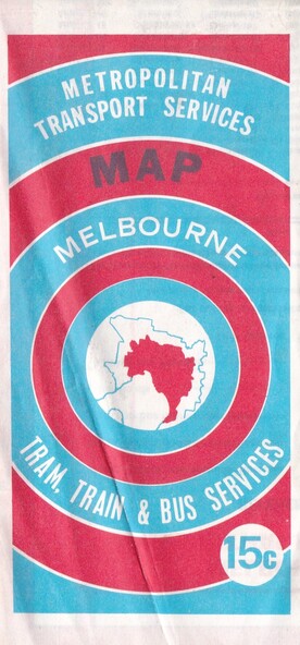
This combined public transport map provides information on services operated by the Melbourne and Metropolitan Tramways Board, private bus operators and Victorian Railways, Bus Proprietors' Association and the Transport Regulations Board.
It was published in the interest of travelers in the Melbourne metropolitan area.
Significance
This map shows Melbourne's transport network prior to the City Loop being built.
Locally the map shows the St. Albans electrification line stopping at the St. Albans Railway Station.
Physical description
Fold out paper map
Inscriptions & markings
Metropolitan Transport Services Map
Melbourne Tram, train & Bus Services 15c