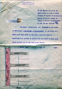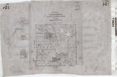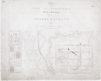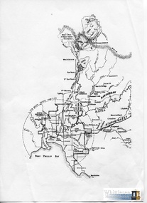
Historical information
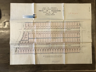
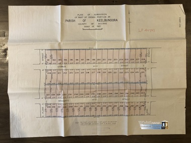
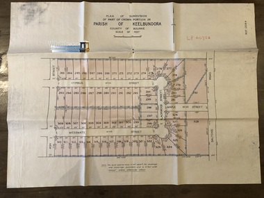
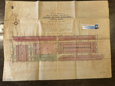
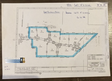
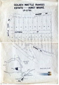
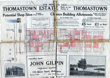
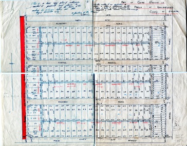
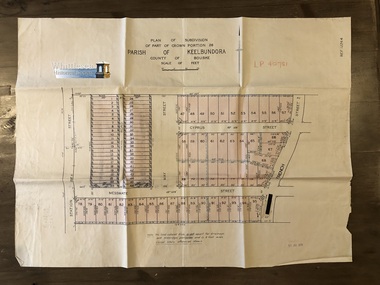
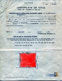
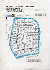
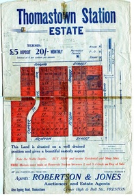
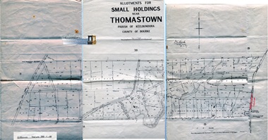
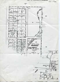
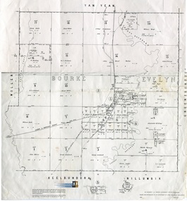
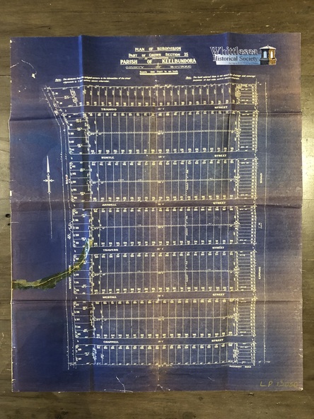
Plan of Subdivision of Part of Crown Section 25, at Thomastown, Parish of Keelbundora, County of Bourke
Epping Road, Mount View Road, Tramoo St, Hurtle St, Arndell St, Travers St, Westall St, Chappell St, and Pleasant Road, recorded on the map.
Physical description
Blue sheet. Aged sticky tape on map. Map 6 of 20 in green folder.
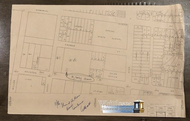
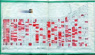
Shows subdivision of blocks numbered 1 - 340, sizes of the blocks, and names of the surrounding streets.
Inscriptions & markings
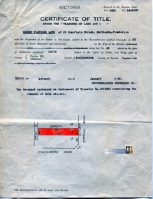
LP 13050.
Undated.